Source: The Atlantic
It caps off a month—and year—of weird weather.
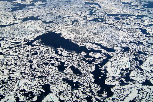
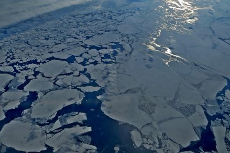
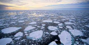
The sun has not risen above the North Pole since mid-September. The sea ice—flat, landlike, windswept, and stretching as far as the eye can see—has been bathed in darkness for months.
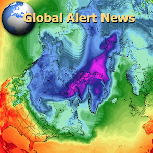
But later this week, something extraordinary will happen: Air temperatures at the Earth’s most northernly region, in the middle of winter, will rise above freezing for only the second time on record.
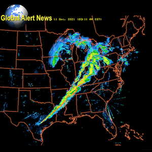
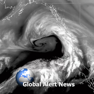
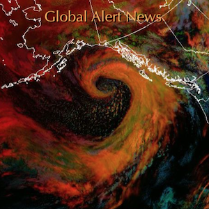
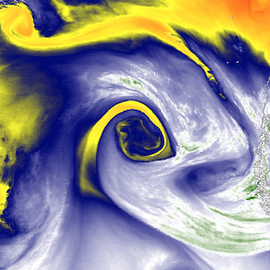
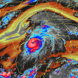
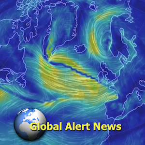
On Wednesday, the same storm system that last week spun up deadly tornadoes in the American southeast will burst into the far north, centering over Iceland. It will bring strong winds and pressure as low as is typically seen during hurricanes.
That low pressure will suck air out of the planet’s middle latitudes and send it rushing to the Arctic. And so on Wednesday, the North Pole will likely see temperatures of about 35 degrees Fahrenheit, or 2 degrees Celsius. That’s 50 degrees hotter than average: It’s usually 20 degrees Fahrenheit below zero there at this time of year.
Winter temperatures have only snuck above freezing at the North Pole once before. Eric Holthaus, Slate’s meterologist, could not find an Arctic expert who had witnessed above-freezing temperatures at the pole between December and early April.
2015 is the warmest year ever recorded. Thirteen of the top 14 warmest years on the books have happened this century. And here in the United States, it has been a hot, strange month. Many cities across the northeast smashed their Christmas and Christmas Eve temperature records not at midday, but at the stroke of midnight. For the hundred-plus years that New York temperatures have been recorded, the city has never been warmer than 63 degrees Fahrenheit on a December 24. Yet at 1 a.m. on Christmas Eve of this year, the thermometer measured 67 degrees.
Some of this North American heat is a regular feature of every El Niño. (Indeed, I wrote about this El Niño-associated heat a few weeks ago.) But in the Arctic, this level of warmth is unprecedented. In order for this huge, hot storm to reach Iceland on Wednesday, it’s punching right through the Jet Stream, the atmospheric “river” that brings temperate weather to Europe. Yet El Niño should typically reinforce this current, explains the climate writer Robert Scribbler—for the Jet Stream to weaken is a sign that something else is going on.
While institutional science will take years, if not decades, to confirm a correlation between human-forced climate change and strong North Atlantic storms, Scribbler believes that Wednesday’s insane warmth at the pole resembles the southern incursions of the “polar vortex” that have been seen in recent winters. These changes are related to human-forced climate change, he writes: a sign that something in the atmosphere has gone “dreadfully wrong.”
Source: The Atlantic


































4 Responses
Foxnews aired a piece about this right after christmas….The fact that this heatwave punched through the jet stream has me very worried
I have not read about some of the possible reasoning for the obvious climate changes as clearly manipulated by the powers who shouldn't be.
Even here, halfway between the Equator and the North pole, where average winter temperatures don't seem too much different the weather patterns have changed substantial.
Snowfalls used to be followed by cold periods, hard blowing wind but associated with clear, sunny skies.
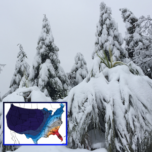
Accumulated snow on Greenhouses etc had a chance to be shedding much of the accumulation.
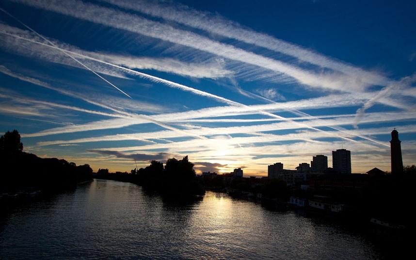
The observable trend is now that sun is blogged, diffused or virtual gone behind a daily new generated veil of "High altitude clouds"."noon clouding over" as the CBC weather reports.
Fact is that collapsing greenhouses caused by this kind of glacieration has been widespread.
The reduction of sunshine hours is severe (heard a number of 40% less) but since most sunny days start out bright the people get triggered to count this a good normal day before keeping their head low and ignorant of what happens above.
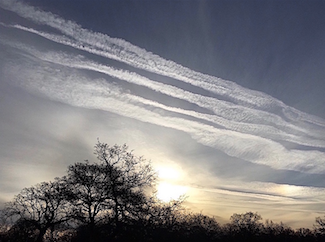
Cloud formation sneak in from mainly southerly direction and showing all hallmarks of artificial creation, definitely not normal natural.
While we superficial feel a nasty cooler weather the average temperatures are actually less severe
Similar can be observed at the Arctic:
less sunshine, deeper cold through
more influx of clouds and controlled weather systems,
even more snow.
But overall less periods of arctic temperatures,
an steady weakening of ice thickness and strength or open water altogether
The detail here is that ice may still be formed and seasonal aerial increase recorded but the quality of cold hard ice lessened.
Now look at the political and resource issues of the Nations ringing the Arctic.
North West Passage anyone?
All of them eager to explore and extract, arguing over boundaries deep under water and ice.
In the past the Ice cover would be locking away their lust for more; there would be no exploring, no possibility to extract fo feed the desire for more.
And the tools for this desire are today in their filthy hands,
The price for this is of no concern to them, poisoning the air , the ground and of course the people collateral damage they shrug off.
i have not read too much about this aspect, but here it is
Stay vigilant and do not trust any (corporate) Authority, so called civil ones have all be transferred into those too
Excellent suggestion, bija!
This current post by Dane is extremely significant as it hails some very troubling and profound changes afoot in the very near future… as Dane suggests in nearly every program.
Happy New Year, Dane and family!
I don't think most of the GEW readers are aware of this and I think it is really important to the link of information and education of those who are putting the pieces together. Is it possible to post this under Recent or Top Stories? I know this info is contained within other articles and posts, but this is particularly hard-hitting and clear. Just a thought…