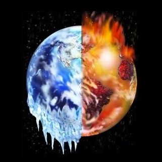
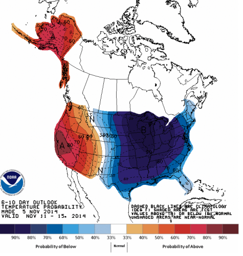
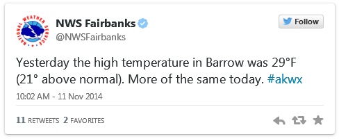
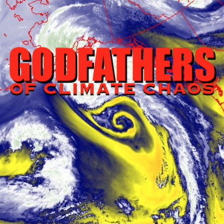
Temperatures in the Arctic as high as 50 degrees while the mercury is nearly 30 below at some locations in the Eastern US, what is wrong with this picture?
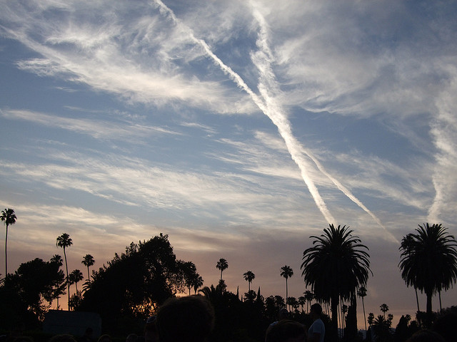
Climate engineering is tearing the biosphere’s life support systems apart. The geoengineering elephant in the room continues to wreak havoc on the planet while the entire climate science community pretends not to know a thing about the climate engineering insanity. All are needed to help sound the alarm by passing out credible data to those that still have no clue about what is going on in our skies. Start “spot fires” of awareness everywhere you can, every day counts.Taking a daily compass heading of data from multiple sources is imperative for reaching solid conclusions on exactly what is unfolding. We must all work together, everything depends on our unity in this battle. The article below does not mention climate engineering as is to be expected, but it does make clear the unprecedented conditions that are occurring.
Dane Wigington
geoengineeringwatch.org
U.S. is turning into an icebox this week. The record temps to prove it
Source: Mashable
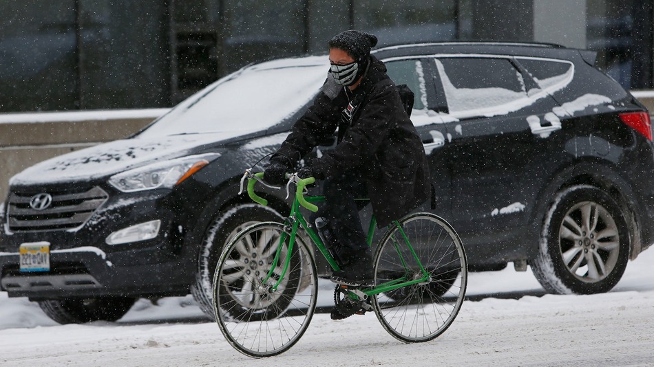
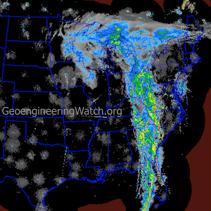
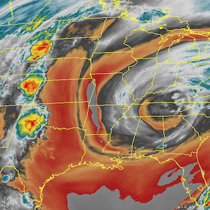
An extreme weather pattern that began with a super typhoon in the Pacific Ocean is now gripping half of the United States with record-smashing cold. Essentially, the U.S. — from the Mid-Atlantic to the Gulf Coast, northward to the Canadian border, and all the way west to Portland, Oregon — has turned into an icebox.
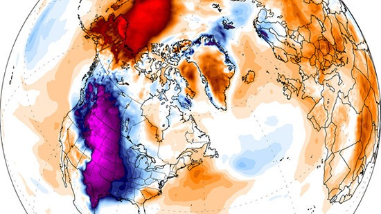
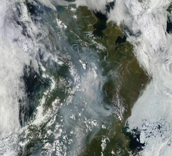
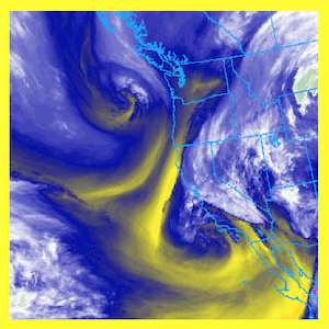
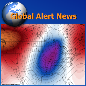
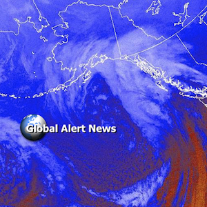
At the same time, record warmth has surged into Alaska and Northwest Canada, as the upper level weather highway known as the jet stream is diverted at least a thousand miles north of its usual position at this time of year, before plunging so far south over the U.S. that the air in Illinois is being sourced straight from Siberia.
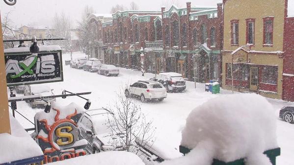
Here are some of the most noteworthy weather records set over the past few days. We’ll see more over the course of the next week, as at least one (perhaps two) more rounds of Arctic air invade the U.S. from our neighbor to the north.
- Minus-14 degrees Fahrenheit: In Denver, the temperature dropped to minus-14 degrees Fahrenheit on Thursday morning, tying for the second coldest all-time temperature recorded there in the month of November. The last time this happened was Nov. 27, 1887; the all-time record low there is minus-18 degrees Fahrenheit, set in 1877. The high temperature at Denver International Airport only reached 6 degrees Fahrenheit on Nov. 12, a record low maximum temperature for the date, beating the old record of 9 degrees, which was set in 1916.
Robert Henson, a meteorologist at the University Corporation for Atmospheric Research in Boulder, Colo., posted on Facebook that in Denver’s recorded history of 142 Novembers, the only November days colder than Wednesday were in 1880 and 1919. Denver may see the first-ever streak of three November days with a high temperature below 20 degrees Fahrenheit, Henson added.
- Minus-27 degrees Fahrenheit: In Casper, Wyoming, the extremely low temperature on Wednesday evening set a daily record low as well as a monthly low. This beat the previous monthly record low of minus-21 degrees Fahrenheit, set on Nov. 23, 1985. These temperatures are about 50 degrees Fahrenheit below average for this time of year, and cold weather of this magnitude is typically experienced there beginning in December (if at all). The earliest Wyoming had reached such a cold temperature was on Dec. 5, 1972, the National Weather Service said. Climate data there dates back to 1939.
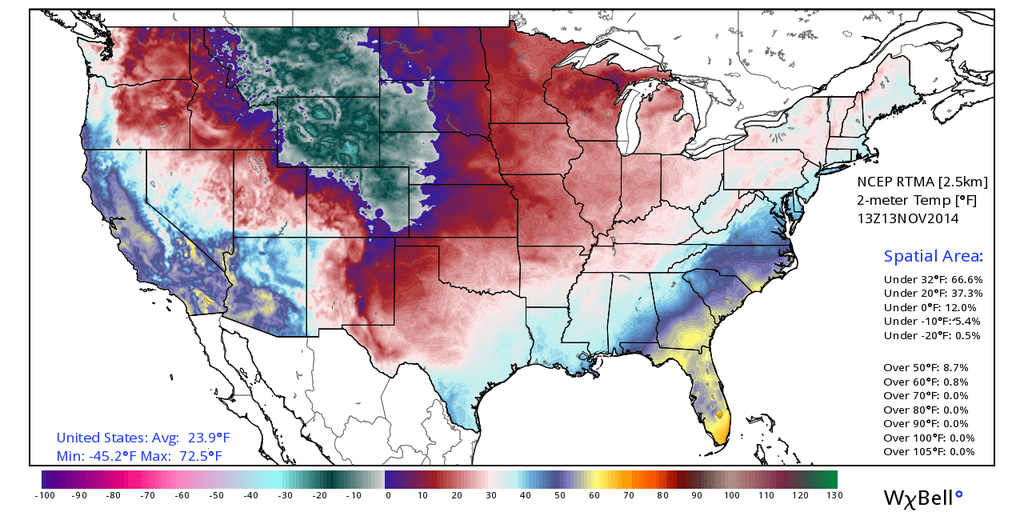
- Minus-21 degrees Fahrenheit: It was Livingston, Montana’s coldest temperature for so early in the season on Nov. 12. However, it has previously been much colder than this in November, with a reading of minus-31 degrees Fahrenheit on Nov. 13, 1959.
- 21 degrees Fahrenheit: On Nov. 12, Amarillo, Texas, set its coldest daily high temperature on record for so early in the season.
- 14 degrees Fahrenheit: On Nov. 12, Goodland, Kansas, set a record for the coldest daily high temperature for so early in the season.
- As the frigid airmass blows across the relatively warm waters of the Great Lakes, we’re likely going to see prodigious amounts of lake effect snow during the next week. As the Weather Prediction Center (WPC) put it in a forecast discussion on Thursday morning:
A VERY PROLONGED PERIOD OF LOCAL LAKE-EFFECT SNOWFALL EVENTS WILL PREVAIL AT VARIOUS TIMES ACROSS ALL 5 GREAT LAKES. WITH SIGNIFICANT SNOWS ALREADY PRESENT…HARD TO IMAGINE HOW MUCH MORE SNOWFALL IS POSSIBLE…PROLIFIC? NUMBERS ARE POSSIBLE. ANOMALOUS? CERTAINLY.
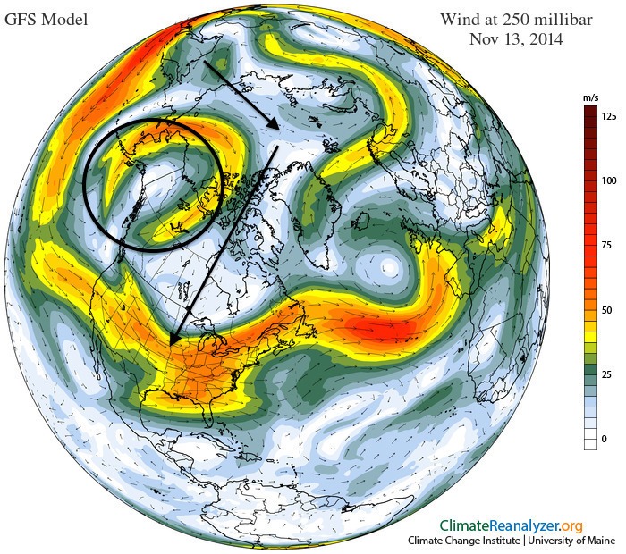
The warm side of this weather pattern:
- 50 degrees Fahrenheit: A record high temperature was set in King Salmon, Alaska, on Nov. 12. This beats the old record of 48 degrees Fahrenheit in 1986. The typical high temperature in King Salmon at this time of year is 31 degrees Fahrenheit.
- At least 41 degrees Fahrenheit: On Thursday, McGrath, Alaska, had already set a daily high temperature record as of 4:49 a.m. local time, at 41 degrees Fahrenheit. The actual high temperature will climb further during the day. McGrath will likely also set a record high minimum temperature record of 38 degrees Fahrenheit, which breaks the old record of 30 degrees from 2000.
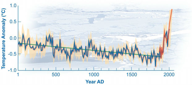
- The cold air is going to spread all the way to the West Coast as well as the Southwest U.S. with time, and it will ooze into the Southeast, including Florida, as well, according to the WPC. Some models are suggesting that a snow event may take shape along the East Coast next week, but there is a lot of uncertainty regarding that scenario.The weather pattern is leading to a classic episode of what climate scientists have labeled the “warm Arctic, cold continents” pattern, something that has been seen with increasing frequency in recent years. Studies have tied this particular pattern in part to rapid Arctic climate change as a result of manmade global warming, although this is still a subject of debate within the mainstream climate science community.
Source: Mashable



























4 Responses
What do I know.. but is it possible they want to bring down the temperatures globally to get the Oceans back to a lower degree like it was not that many years ago? So they can save the arctic, our air conditioning? If this generation has to put up the bill and make the sacrifice to save the climate then how about the White house letting us know because it is not just in our skies it is happening every where… globally. It just sad that we can’t get big oil to cap a damn thing and for sure we don’t want to start walking. Also if we had more trees it would rain more so the more fires that burn them down the more drought. CA needs to get busy planting trees… cause Haarp obviously can’t help them, don’t you think they would if they could? Now bee’s.. that is a problem and the Government is turning a blind eye!
Redmond Oregon school district in Central Oregon had a 2 day closure which is VERY VERY rare to even have ONE day off!!!
A foot of snow in Redmond while Bend/La Pine had four inches and had school except Friday.
We had a very light snow fall here in Lexington, Ma this morning. No snow on the roads. then the day turned sunny. So strange. NOw it is going to get very cold.
27 degrees and several inches of lake effect snow in Cleveland so far. It looks and feels like January right now.