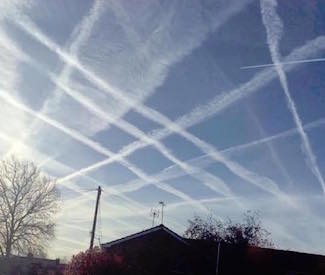
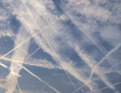
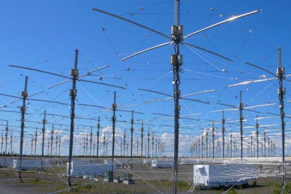
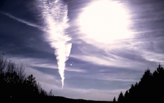
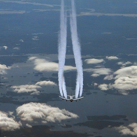
California and the Western US continues to bear the brunt of the all out geoengineering assault on planet Earth. The massive high pressure zone that has again been engineered over the West is shattering high temperature records all along the North American coast. During these heat build ups spraying is often seen at night in addition to daytime hours. It appears this is part of the extreme high pressure heat buildup effort. The climate engineers are trapping heat at night probably in order to further increase the heat and thus the strength of the high pressure. The Global Ionosphere heaters (HAARP facilities) are also a likely part of the high pressure build up. Why? The clockwise rotation of the high pressure directs the jet stream in pattern that is connected to the engineered “cool downs” in the Eastern US. The geoengineers decide who fries and who freezes, but the toxic fall out from the spraying affects the entire population.
geoengineeringwatch.org
Mangled Jet Stream Delivers Record-Shattering Heat, Extreme Wildfires to California
Source: Robert Scribbler
It’s just mid-May, but a wave of record July-like heat and wildfires is building for California and the US West.
A high amplitude Jet Stream wave that has been in place over the US West for more than a year now has resulted in hot, dry conditions throughout this very long period. It is an ongoing insult that contributed to the worst California drought in more than 100 years. A set of weather anomalies that continues to leave California and the US Southwest very vulnerable to heatwaves, fires and amplifying droughts as summer continues to emerge.
The pattern is essentially stuck — featuring a hot, pole-reaching, wave of the Jet Stream continuously rising over the US West, Western Canada and Alaska, and diving deep into the Arctic. It is a condition climate researchers such as Dr. Jennifer Francis attribute to an ongoing erosion and degradation of Northern Hemisphere sea ice. And the predictions of Dr. Francis appear to have born out in both recent observations and cutting edge scientific research showing how sea ice loss has shoved the storm track away from California and the US Southwest (see how Climate Change Made the California Drought Worse).
In any case, it is highly unusual for such an intense Jet Stream pattern to remain fixed for so darn long.
Emerging El Nino Contributes to 100 Degree (F) Heat
In recent months, the strength of the heat flowing up through the Jet Stream wave has been intensified by a growing pool of anomalously warm water to the south in the Eastern Pacific. This gathering pool of intensifying heat is a signal for the coming of El Nino. Come winter, a strong El Nino might bring a radical and violent switch of California weather to much more rainy conditions. But, for now, it lends further energy to a gathering and extraordinary May heatwave for the US West Coast.
It is a flood of heat that is expected to bring 90 to 100 degree plus temperatures for a broad zone from southeast California to the coast and on northward through the Central Valley. And, already, the effect is being felt for some regions. Yesterday, Van Nuys Airport in Los Angeles shattered its previous record high temperature of 91 for the date as temperatures rocketed to 93 F. Today, the forecast is for 98. Tomorrow, 100. Friday 96.
This forecast is for a string of four consecutive all-time record highs during a period in which temperatures hit an extreme range of 18-25 F above the typical daily peaks of 75 for this time of year. Sacramento, meanwhile, is expected to tie the all-time high today at 100 F after reaching the same reading yesterday. Tomorrow’s forecast is for a scorching 101 F. Typical average highs for this time of year in Sacramento are around 80 F.
(Fire approaches El Camino Drive, threatens homes in Carlsbad. Image source: Resident’s Contribution to ABC 10′s Twitter Feed)
Santa Anna Winds, Heat, Drought Spur Large Fires
Rising Santa Anna winds in the range of 40 to 60 mph with maximum gusts as high as 87 mph in the San Diego Mountains combine with relative humidity values below 10% and extreme heat to create a high potential for wildfire outbreaks. As a result, red flag fire hazard warnings have been issued for a zone along California’s southwest coast and into the south-central valleys.
By Tuesday, two large fires — one in Bernardo, San Diego and a second in Miguelito, Santa Barbara — had already erupted and consumed hundreds of acres. The Bernardo fire, by early today, had rapidly expanded to cover more than 1,550 acres forcing the evacuation of over 20,000 people and 1,200 buildings. Three schools and one military base were also evacuated as fires raced through valleys to threaten expensive homes in developments on local ridges. As of late morning, the fire was only 25% contained.
The Bernardo fire, as of this writing, posed a severe threat to many highly populated areas forcing numerous evacuations and even the closing of El Camino Drive. Given conditions on the ground this is a very dangerous situation in which the fire may undergo rapid expansion. Up-to-the minute photos by local residents show rapidly deteriorating and dangerous conditions (see ABC 10′s live feed). People in the area should exercise extreme caution and pay close attention to local fire/weather bulletins.
The Miguelito fire, on the other hand, had grown to 600 acres in just one day as it threatened local ranches. Firefighters had, by late morning, managed to contain 50% percent of that blaze.
Conditions in Context
The most recent record heat spike is likely to only exacerbate current dire drought and fire issues for the state. Local reservoirs remain very low and various water rationing and restriction regimes have already been imposed in numerous districts. Atmospheric moisture levels are also very low resulting in little in the way of evaporative cooling once heating intensifies. The result is a high risk for continued record heat, drought, and fire as spring proceeds into summer.
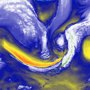
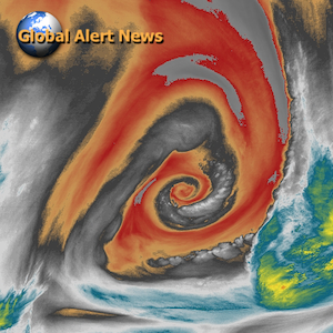
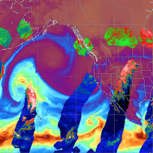
(Mangled Jet Stream pattern on May 14, 2014 features numerous high amplitude Rossby Waves and hot-cool/east-west dipole patterns. High speed Jet Stream flow is more indicative of a winter pattern, possibly due to the retreat and temporary re-establishment of the polar vortex. But the huge propagation of east-west/hot-cool dipoles and the continued upper level air invasion of the northern polar zone point toward a highly disrupted Jet Stream. Image source: University of Maine.)
Though highly anomalous and extreme for early May, the most recent California heat spike is likely to abate by Friday and Saturday as an onshore wind flow and slight weakening of the ridge is expected to bring cooler conditions. Ongoing high amplitude Jet Stream waves, however, are expected to continue to propagate over the US West Coast with the ridge predicted to again re-strengthen later next week. The added heating of the atmosphere as spring progresses into summer is likely to further exaggerate this already extreme set of conditions. So the atmosphere is rigged for further record heat spikes and the potential for long periods of record or near-record conditions going forward.
UPDATE: By noon, Pacific time, the Bernardo Fire had expanded to 1680 acres and spawned two smaller fires in the San Diego region sending residents in Carlsbad and Poinsettia scrambling. It is difficult to express how dangerous this situation has become. Risk for severe intensification of these fires is very high due to extreme temperatures, humidity in the range of 6% in San Diego, and very strong Santa Anna winds.
UPDATE: Passenger photo by cGilbertRun of three fires plaguing San Diego from inbound airline Wednesday afternoon at 1 PM Pacific Time:
By early afternoon, the multiple blazes continued to expand spurring numerous additional evacuations, cutting off power to homes and businesses, and causing traffic snarls. Emergency authorities urged residents to remain at home or work unless ordered to evacuate to prevent congestion and to speed egress from affected areas.
UPDATE: By 1:30 PM PST, the Carlsbad Fire had spurred another 15,000 evacuations in San Diego. As of this time, the effect of the third fire is unknown.
UPDATE: Blaze near Poinsettia has resulted in an additional 11,000 evacuations. Sporadic reports coming in of three more fires now underway.
UPDATE: 30 homes reported burned in Carlsbad as of 2:00 PST. Unconfirmed reports of 103 F temperature readings in central San Diego.
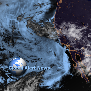
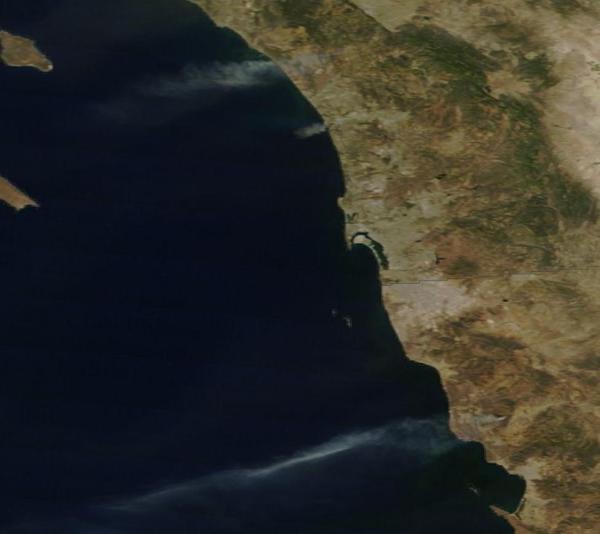
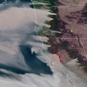
UPDATE: MODIS shot of fires burning in southwest California and northwest Mexico during satellite pass this afternoon:
UPDATE: Local elementary school apparently damaged in Carlsbad Fire.
UPDATE: Five of the six fires burning in San Diego include: The Carlsbad Fire, The Oceanside Fire, The Highway Fire in Fallbrook, The Camp Pendleton Fire, and the Bernardo Fire.
UPDATE: Seven fires now burning is San Diego. Six are shown on the map below which does not include the Bernardo Fire:
UPDATE: New fire reported in San Marcos, bring the total number of San Diego fires to 8.
UPDATE: Unconfirmed new fire near Black Mountain (5 PM PST). If confirmed, this brings the total to 9.
UPDATE: The San Marcos Fire has prompted yet one more major evacuation. Thousands of residents fled the fire only to get bogged down in gridlock near the blaze. Firefighters are now on the ground to protect San Marcos residences but air support appears delayed, possibly due to multiple fires resulting in a thinning of resources.
UPDATE: Large office building now ablaze due to engulfment by the Carlsbad Fire. Unconfirmed reports of windswept embers falling over portions of San Diego.
UPDATE: DC 10 firefighting aircraft deployed to assist in fighting 8 + fires. Officials state that Carlsbad fire is now 10% contained, forward progress of Lakeside fire halted. Anti-looting guards set up to protect evacuated Carlsbad residences. Carlsbad officials: “It’s unbelievable, this is something we should see in October, not May. I haven’t seen it this hot, this dry in May before… this is an extraordinary weather event.”
All too apt tweet from King Pine Homes: “8 fires in North County SD right now. Climate Change sucks!“
UPDATE: National Weather Service shows 4+ all-time record highs for the day broken in the San Diego region with readings topping out between 93 and 99 degrees.
Warmest thoughts and wishes go out to both the brave firefighters and to all the families in the affected regions. Please stay safe!
(View from San Marcos as night falls over San Diego by GradyGray.)
UPDATE: San Diego County will hold a news conference at their County Emergency Operations Center (EOC) at 8:30 local time.
UPDATE: Governor Brown has just declared a state of emergency for all of San Diego County, noting: “I find conditions of extreme peril to the safety of persons and property.”
UPDATE: According to reports from the California Fire Service, the Tomahawk Fire has now burned over 6,000 acres and is now encroaching on Camp Pendleton.
UPDATE: 9,196 acres confirmed burned in San Diego County today.
UPDATE: The San Marcos Fire has spread to cover 500 acres is just a few hours.
UPDATE: Must-see footage of the Carlsbad Fire filmed by a passing driver earlier today:
Source: Robert Scribbler




























10 Responses
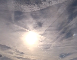
Anybody ever notice those weird-looking clouds lately, called ‘Aspiratus’ Clouds?
I never saw them til I moved to North Texas in 1998, and then they would typically appear right after a strong cold front would move through here in the late Fall and during most of the Winter.
Lately, however; I’ve been seeing them nearly every month of the year…
Comments, anyone?
Its the aluminum in the spray it accelerates the fire along with the temperature and low moisture.
Let’s call it what it is .. genocide
Sad, disgusting, disturbing times we are lving in.
I can’t see how we will ever get out of this, but then, that’s all part of the agenda, isn’t it?
I was a witness to the first 3 fires that began in Northern San Diego this week. All winter long, I noticed heavy spraying in this area of an intensity I hadn’t seen in years. I KNEW there’d be fires this summer!
In 2008 when there were over 50 fires in the So. California, the very same heavy 9 mos. aerosol spraying campaign took place.
Like the recent fires most were attributed to arson and no one was ever caught. The media mentioned this during the fires, but it was quickly forgotten/covered up afterwards. I’d bet the bank the same will happen after this summer’s fires.
The daily, heavy bombardment starts in early fall and ends in late spring/early summer. It was the same formula in 2006-07. In fact, LA rainfall for ’06 was the least ever recorded since it first began being dococumentedin 1870. Los Angeles only received 3.1 inches that year. (Annual average is normally 15.5 in.)
If you want to see just how bad it was, take a look at Flickr.com/chromelung7. Check out what just 1 day of particulates that collected in my air filter. This went on for months. I even bought 3 more filters and it made no difference. All 3 would be clogged in 1 day. All of those photos were taken between Nov. 05 and July 2006.
This can be stopped if people just let their Senators and Congress people know that they want this to stop; and connect with like minded others to keep the pressure up to stop this.
Right on Karen.
I can’t stop thinking of the malign doings of the gods of ancient Greek mythology, meddling with mortals out of sadistic pleasure. Get a life already. And you know they are gathered in “board rooms” or hooked up on some private, parallel internet system just tittering as we are destroyed. Our ruin is their sex, perverts. It makes me so upset to watch the Youtube of people’s houses aflame.
They have been noted in the historic record going back to at least 1923.
http://en.wikipedia.org/wiki/Fire_whirl
Dane, do you think “fire tornados” are natural? I had never heard of them my entire life, until just recently seeing pictures of them circulated on the internet, Facebook, etc.
The people responsible for the climate manipulation are murderers. Period.
All of the people who are to blame for this should be jailed for life, with no reprieve. Will this happen? No, ofcourse not. Feeling so very very sad.